

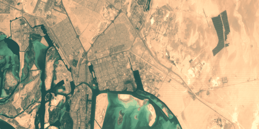
Localised issue detection and strategic resource management
Pixxel’s hyperspectral satellites capture data across 250+ spectral bands, offering governments unprecedented insights into land use and environmental conditions.
This allows for the precise detection of localised issues like chemical spills or ecosystem stress, enabling strategic resource management. By providing granular details on regional patterns, decision-makers can develop sustainable strategies for resource use, improve urban planning, and respond swiftly to environmental challenges.
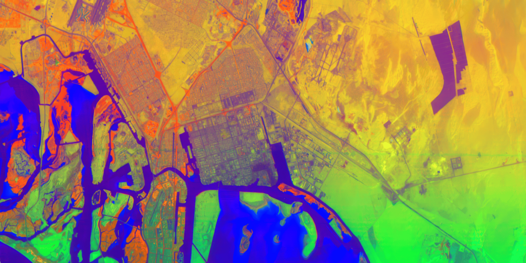
Accurate monitoring of infrastructure and environmental health
With its 5-meter spatial resolution, Pixxel’s hyperspectral technology delivers highly detailed data, allowing governments to monitor infrastructure and environmental health with precision.
Whether tracking the condition of roads, railways, or inland waterways, this technology enables early detection of potential issues. Continuous monitoring helps reduce maintenance costs, improve resource allocation, and ensure the longevity of critical public infrastructure.
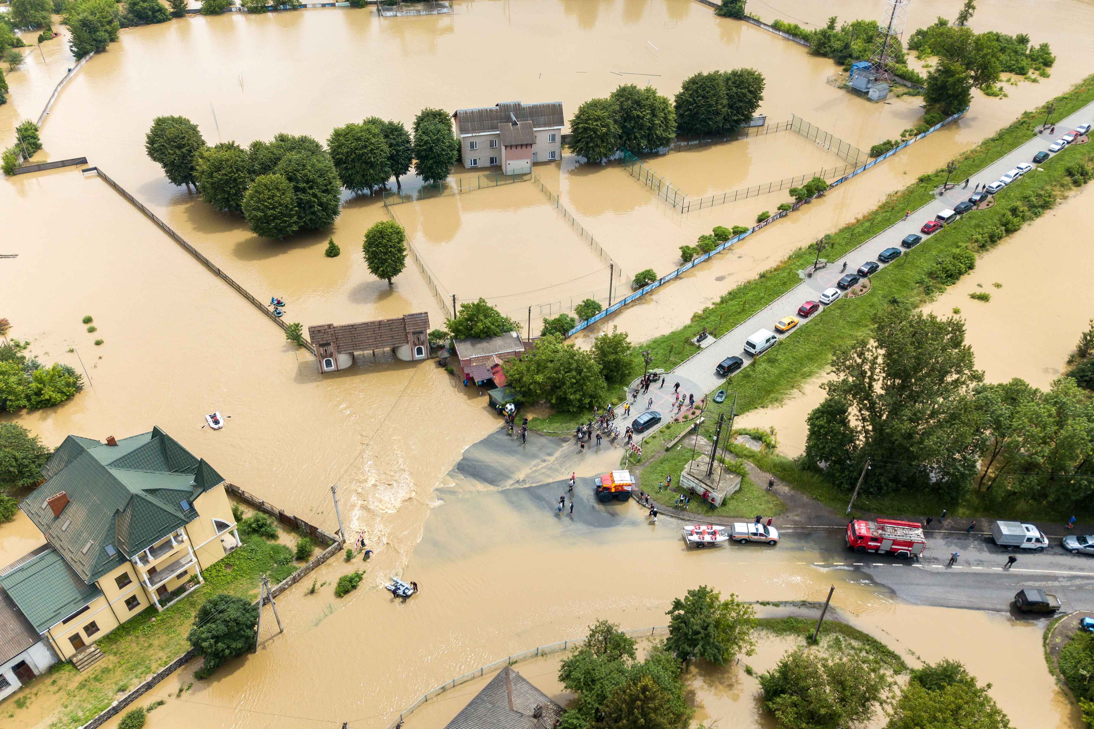
Proactive disaster detection and rapid response
Pixxel’s satellites offer a daily revisit frequency, which is essential for early detection of environmental threats and disaster risks.
This technology allows civil authorities to monitor subtle signs of environmental stress such as land degradation, or weather-related changes—well before visible symptoms appear. With near real-time access to hyperspectral data, governments can implement timely interventions, minimising the impact of disasters and improving the effectiveness of relief efforts.
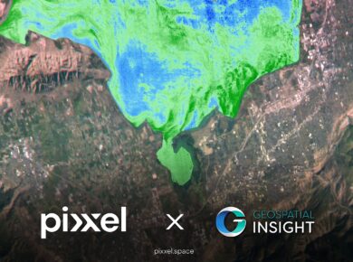
Precision in infrastructure management and urban planning
Pixxel's hyperspectral technology offers 50X more information than conventional satellites, delivering unparalleled accuracy in resource identification and infrastructure management.
This precision optimises resource allocation, enhances public safety, and supports sustainable management practices. With detailed insights, governments can improve environmental and urban planning, efficiently manage resources, and implement resilient infrastructure strategies. Real-time monitoring empowers decision-makers to safeguard public assets, reduce risks, and ensure long-term sustainability in both urban and natural environments.


Localised issue detection and strategic resource management

Accurate monitoring of infrastructure and environmental health

Proactive disaster detection and rapid response

Precision in infrastructure management and urban planning


Birmingham, United Kingdom, Los Angeles, California, and Bengaluru, India, 12 February 2025:

London, United Kingdom; Los Angeles, California; and Bengaluru, India, 6th February 2025

Delaware, Ohio, Los Angeles, California, and Bengaluru, India – Pixxel, a leading

We're thrilled to share some significant developments that will take our capabilities
