
")

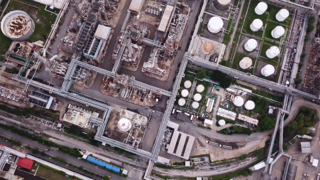
Precise identification of threats and optimised solutions
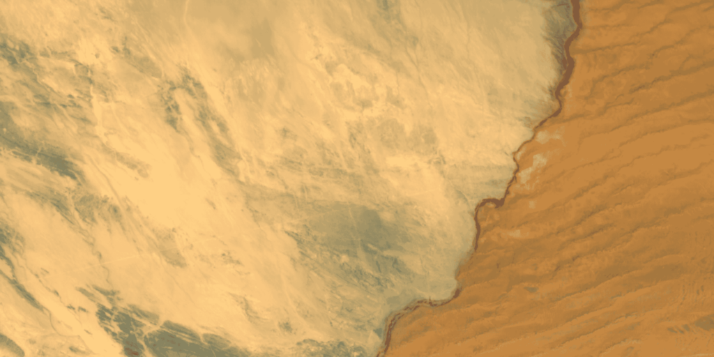
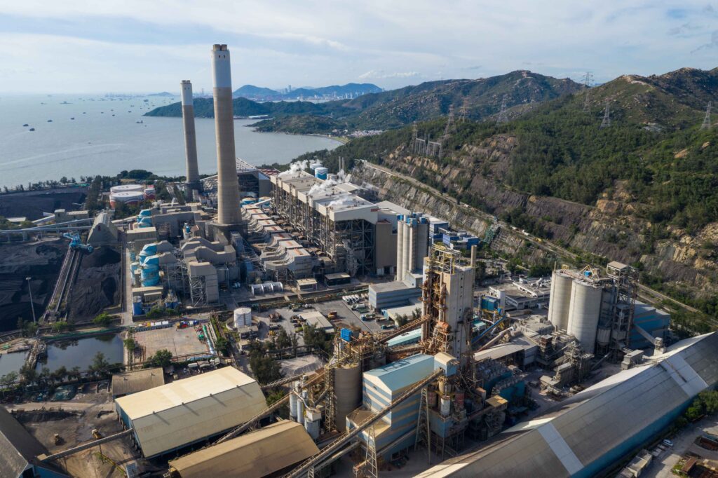
Pixxel’s imaging satellites excel in capturing information across 250+ spectral bands, offering diverse solutions for various operational stages within the oil and gas industry.
Hyperspectral imagery empowers decision-makers by helping identify valuable resources and assessing feasibility at potential exploration sites. Additionally, it facilitates ongoing monitoring on a large scale, enabling the early detection of threats to the site and the surrounding natural environment.
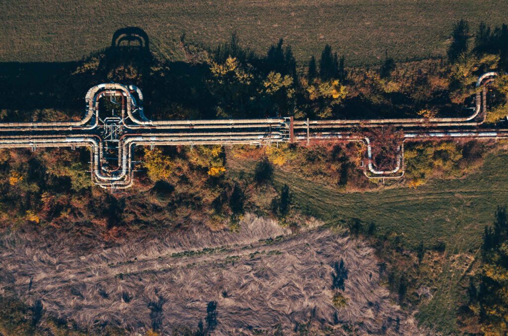
Targeted vegetative analysis and leakage detection
Hyperspectral imaging delivers exceptional results in vegetative studies with 50X more information, securing the industry's future success.
This technology enables targeted approaches to implementing environmentally compliant and conscious mechanisms and solving for biodiversity preservation, vegetative health monitoring, and leakage detection.
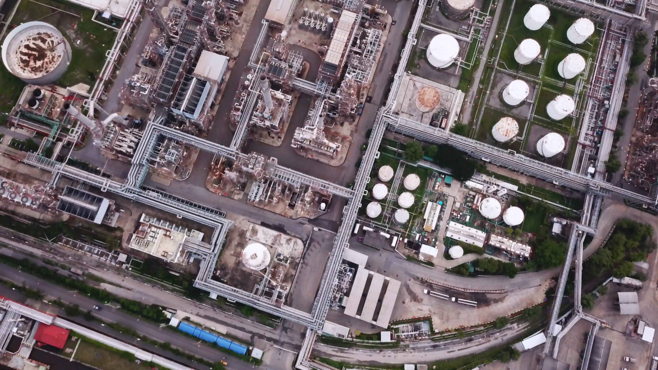
Data-driven practices for enhanced oil and gas operations
Pixxel’s hyperspectral imaging technology has 5m spatial resolution, which helps detects threats precisely and supporting data-driven, sustainable practices in the future.
Detailed habitat maps near exploration sites can reduce costs, optimise resource usage, and enhance environmental compliance. By promoting ecosystem regeneration, Pixxel’s technology fosters practices essential for the oil and gas sector.
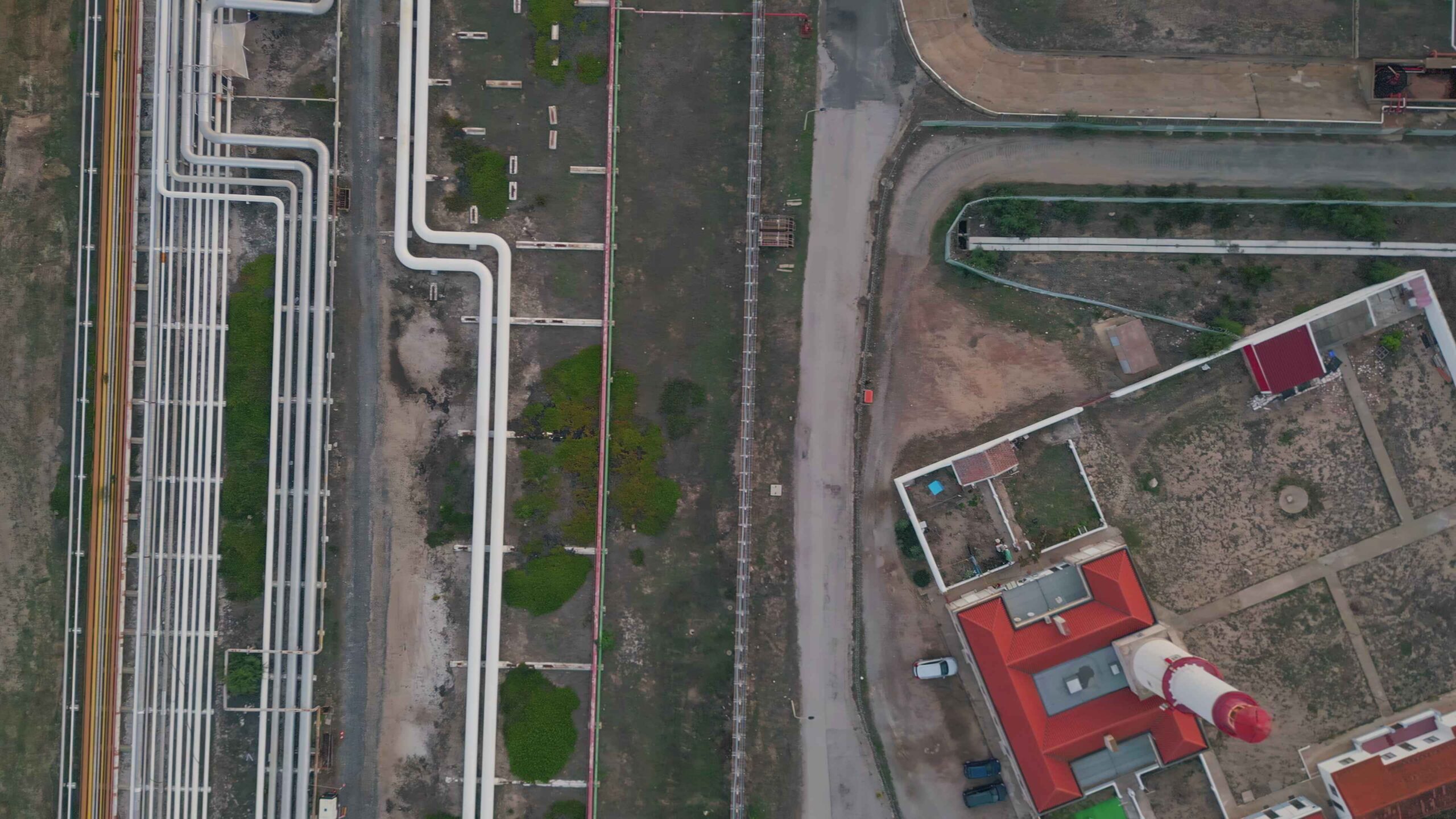
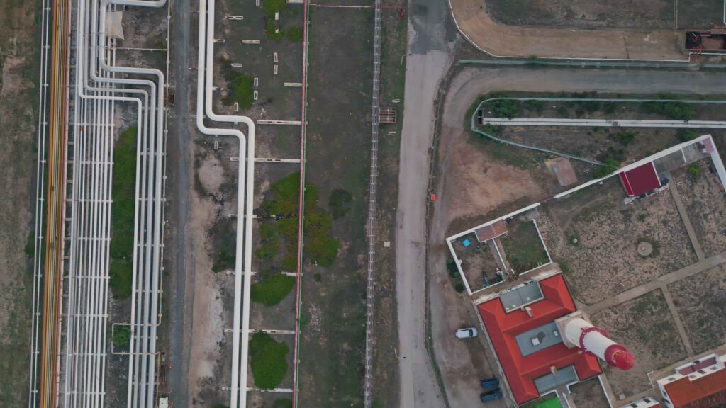
Efficient Pipeline monitoring and right-of-way security
Pixxel’s hyperspectral imagery offers daily revisit frequency, assisting in detecting threats along the Right of Way (RoW) and ensuring the safety and security of pipeline infrastructure.
- Monitor pipeline-specific parameters: Assess vegetation encroachment, construction activities, and natural hazards with exceptional precision.
- Detect changes in land cover: Identify potential threats to the pipeline’s structural integrity promptly.
- Facilitate proactive strategies for remediation: Address environmental impact and mitigate potential risks swiftly.
- Establish early warning systems: Detect and address threats to pipeline security promptly.


Precise identification of threats and optimised solutions
Targeted vegetative analysis and leakage detection
Data-driven practices for enhanced oil and gas operations
Efficient Pipeline monitoring and right-of-way security


Birmingham, United Kingdom, Los Angeles, California, and Bengaluru, India, 12 February 2025:

London, United Kingdom; Los Angeles, California; and Bengaluru, India, 6th February 2025

Delaware, Ohio, Los Angeles, California, and Bengaluru, India – Pixxel, a leading

We're thrilled to share some significant developments that will take our capabilities
