
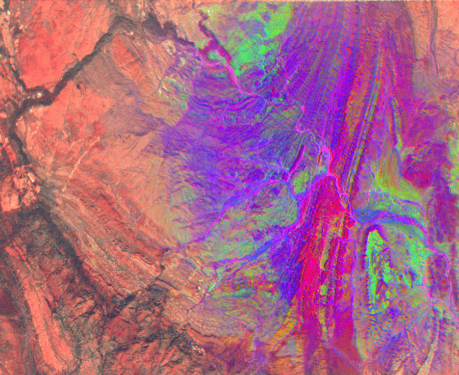
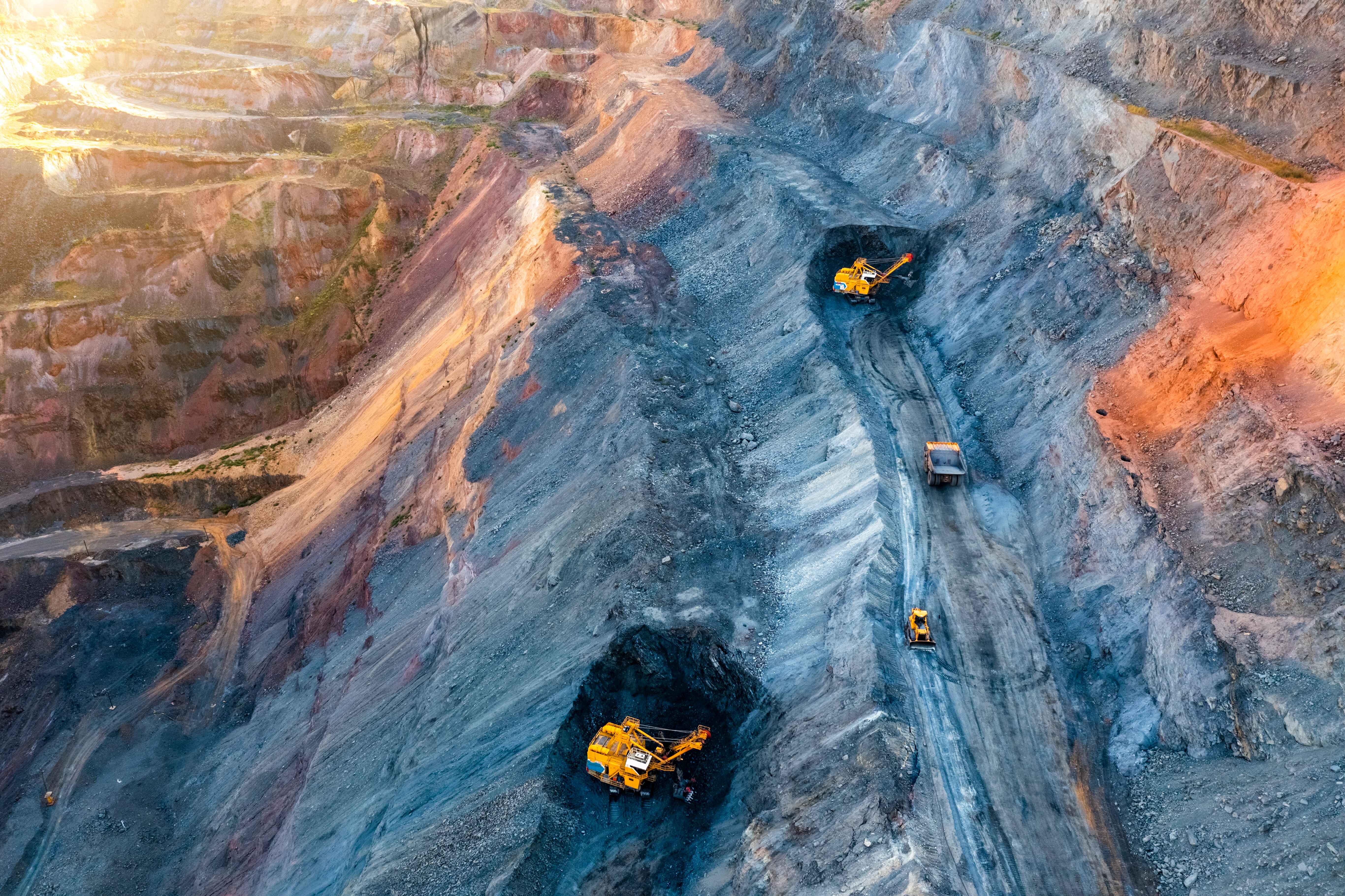
Detailed Site and Feasibility Assessment for Sustainable Mining
Pixxel’s imaging satellites capture data at a 24-hour revisit rate across a 40 KM swath, which is essential for mineral exploration and site assessment in expansive areas.
Capturing hyperspectral imagery over potential mining sites enables decision-makers to identify mineral reserves and assess their feasibility. This also provides continued tracking at scale for any threats to the site and the surrounding natural environment.
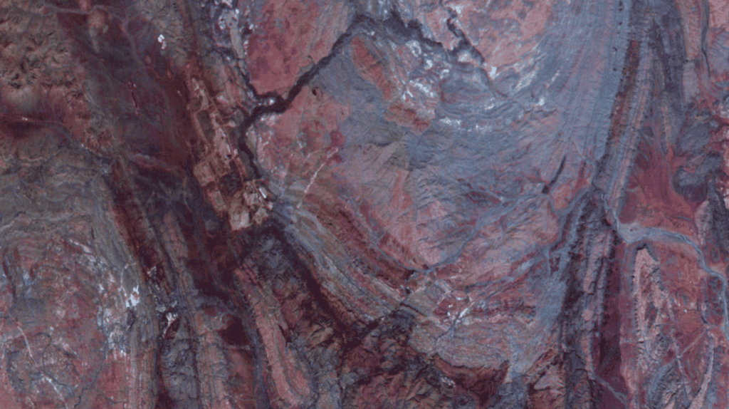
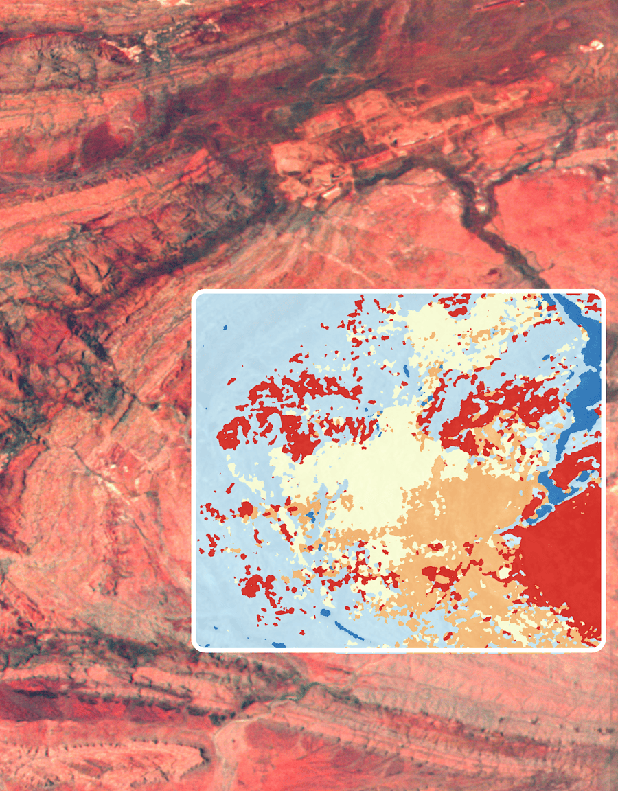
Precision-Optimised Threat Detection and Solutions
Pixxel’s hyperspectral imaging technology captures data across 250+ spectral bands, enabling precise detection of threats to mining sites.
Hyperspectral technology creates detailed habitat maps around mining areas, detecting environmental threats across vast regions. This capability reduces costs, optimally allocates resources, and improves environmental compliance. Additionally, it helps ecosystem regeneration, minimising environmental impacts and promoting responsible mining practices.
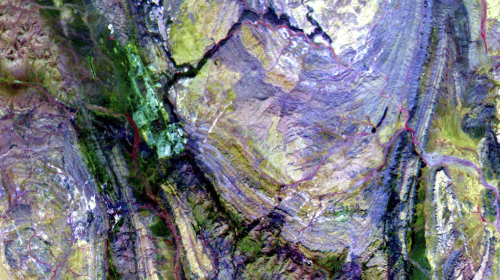
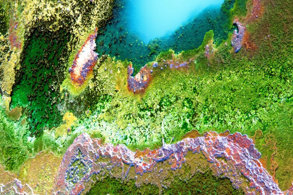
Advanced Vegetation Health and Habitat Mapping
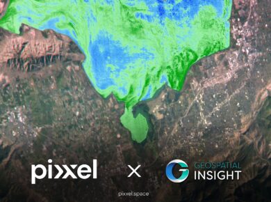
Pixxel’s hyperspectral imaging provides 50X more information than conventional satellites, making it essential for habitat mapping and vegetation studies.
Hyperspectral data facilitates specific biodiversity preservation, monitoring of vegetative health, and detection of leakages and potential environmental impacts. This assists in the implementation of environmentally conscious mining processes and regulatory adherence.
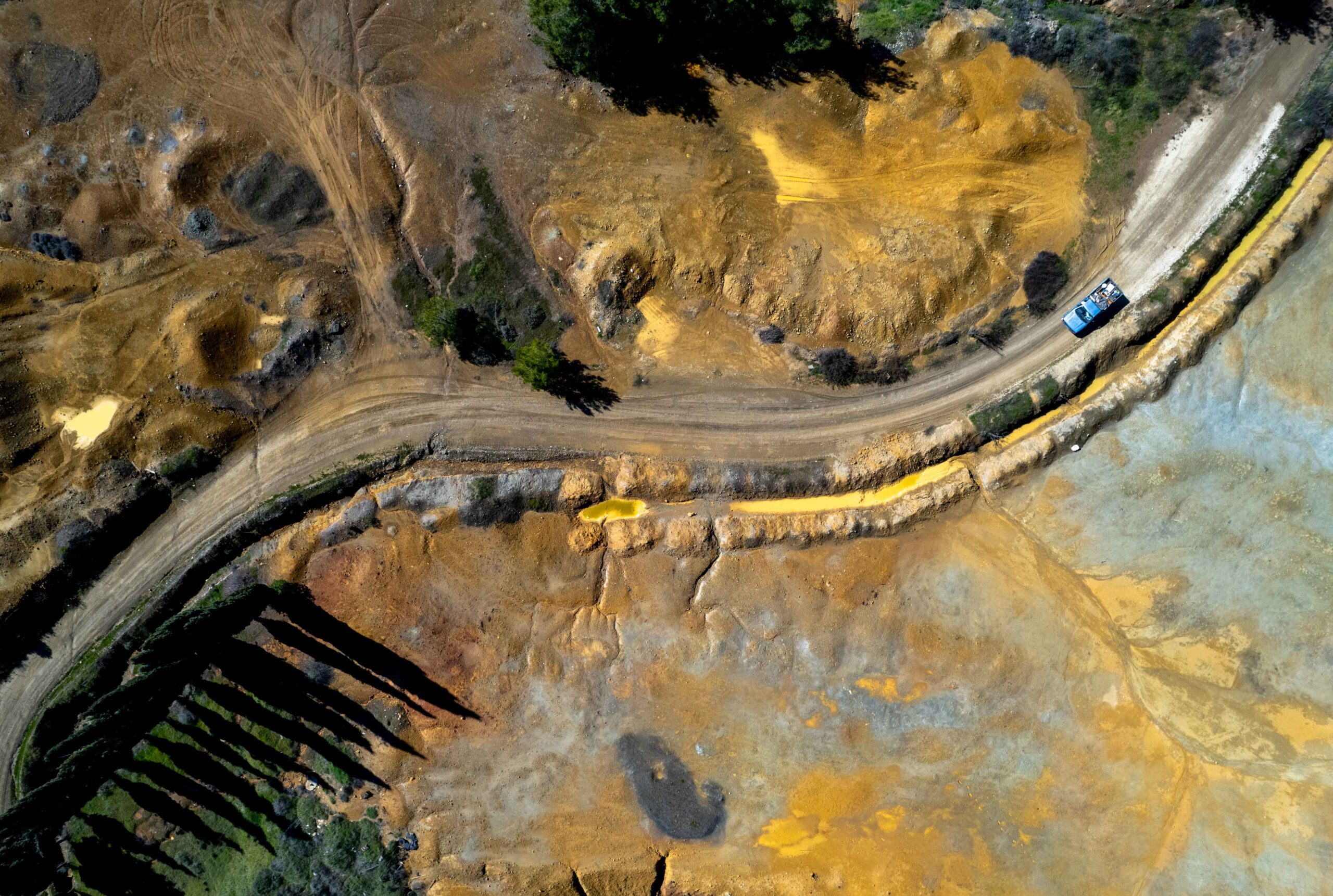
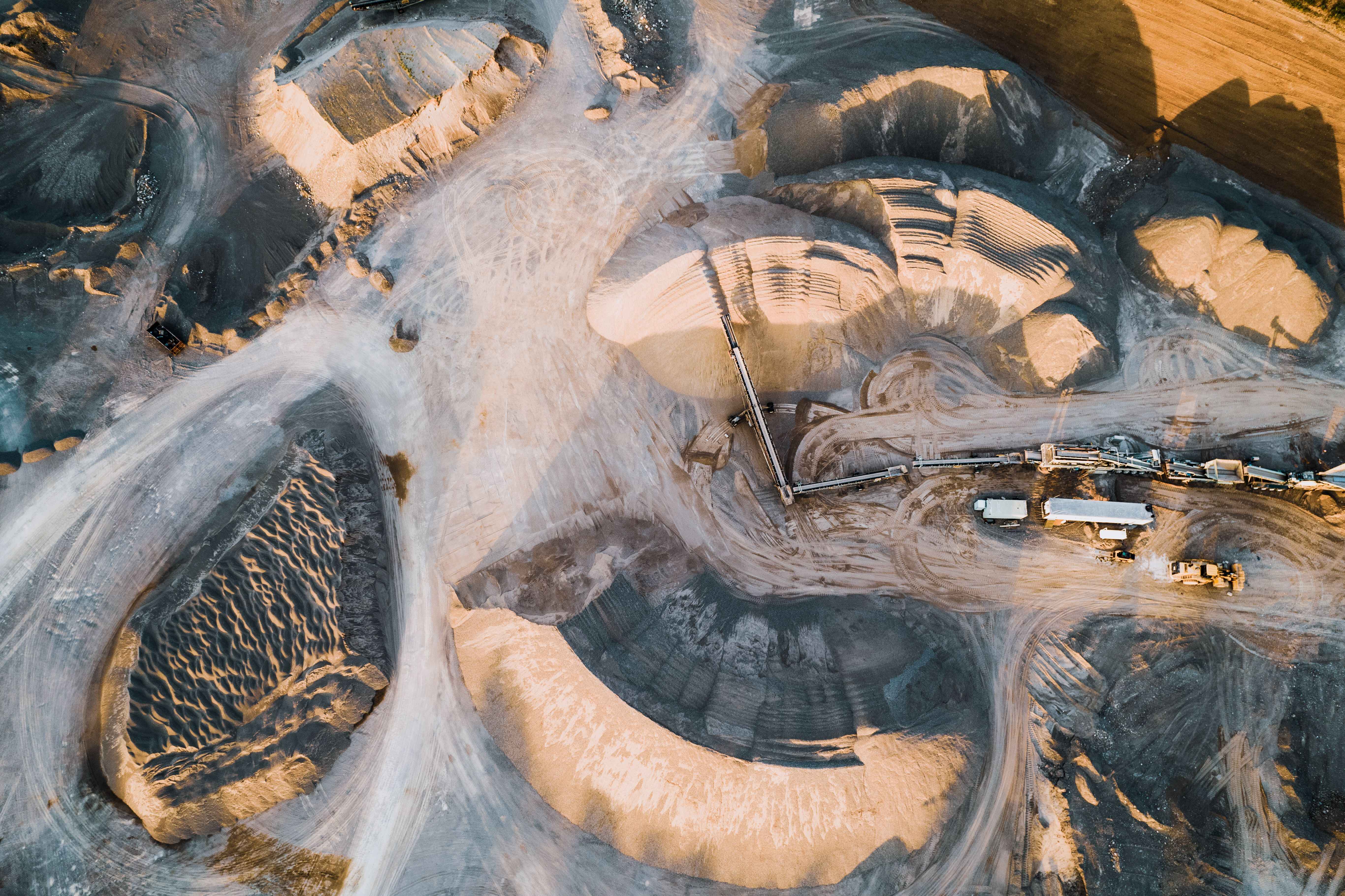
Comprehensive Mine closure and Site Remediation
Pixxel’s 5-metre spatial resolution imagery supplies data throughout the mining process, from exploration to decommissioning.
- Monitor water quality parameters like heavy metal concentrations, pH , and turbidity.
- Identify contamination sources, including leaching from abandoned mine lands and tailing dam seepage.
- Develop remediation strategies for abandoned mines and mitigate tailing dam leaching.
- Establish early warning systems.

Detailed Site and Feasibility Assessment for Sustainable Mining

Precision-Optimised Threat Detection and Solutions

Advanced Vegetation Health and Habitat Mapping
Comprehensive Mine closure and Site Remediation


Birmingham, United Kingdom, Los Angeles, California, and Bengaluru, India, 12 February 2025:

London, United Kingdom; Los Angeles, California; and Bengaluru, India, 6th February 2025

Delaware, Ohio, Los Angeles, California, and Bengaluru, India – Pixxel, a leading

We're thrilled to share some significant developments that will take our capabilities
