


Agriculture
Identify Crop Species
Detect Pest Infestations
Monitor Soil Health
Map Nutrient Defeciencies

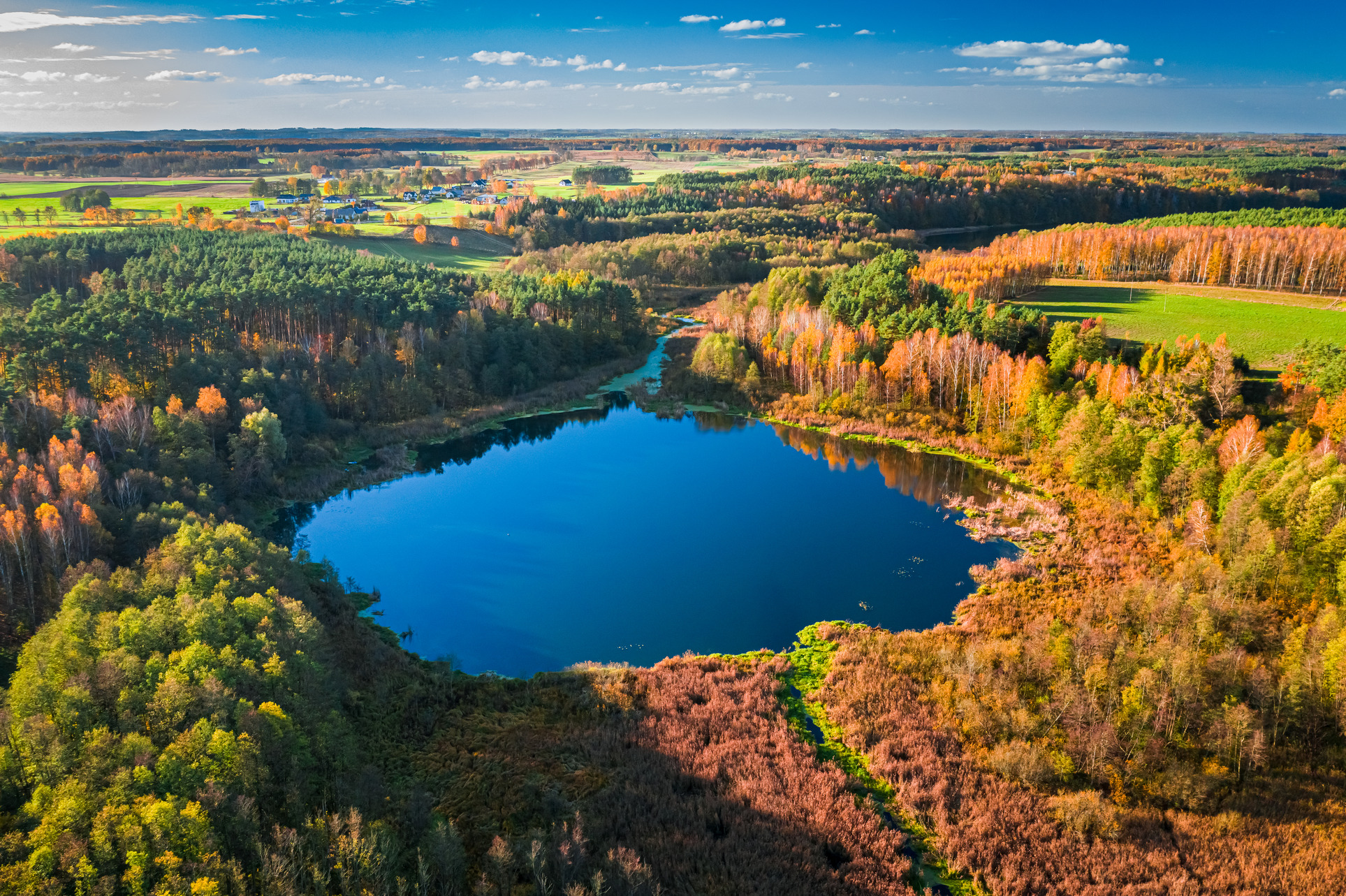
Environment
Forest Cover Mapping
Pollution/Stress Level Quantification
Gas Concentration Mapping
Vegetation Detection
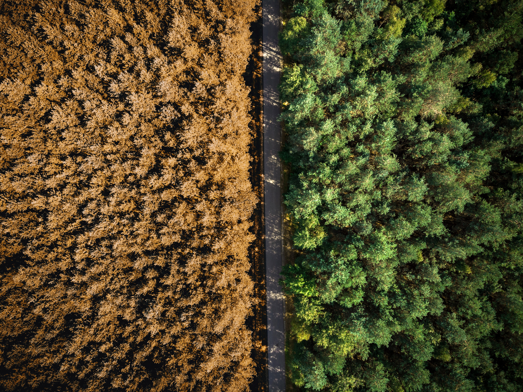
Forestry
Precise Forest Monitoring
Advanced Plantation Monitoring
Track And Predict Widfires
Advance Pest & Disease Detection

Government
Plan Urban Infrastructure
Map Road Networks
Natural Disaster Response
Natural Resource Mapping

Mining
Mineral Detection
Map Geological Hotspots
Illegal Mining Prevention
Environmental Compliance
Agriculture
Identify Crop Species
Detect Pest Infestations
Monitor Soil Health
Map Nutrient Defeciencies

Environment
Forest Cover Mapping
Pollution/Stress Level Quantification
Gas Concentration Mapping
Vegetation Detection
Forestry
Precise Forest Monitoring
Advanced Plantation Monitoring
Track And Predict Widfires
Advance Pest & Disease Detection

Government
Plan Urban Infrastructure
Map Road Networks
Natural Disaster Response
Natural Resource Mapping

Mining
Mineral Detection
Map Geological Hotspots
Illegal Mining Prevention
Environmental Compliance
Agriculture
- Identify Crop Species
- Detect Pest Infestations
- Monitor Soil Health
- Map Nutrient Defeciencies
Environment
- Forest Cover Mapping
- Pollution/Stress Level Quantification
- Gas Concentration Mapping
- Vegetation Detection
Forestry
- Precise Forest Monitoring
- Advanced Plantation Monitoring
- Track And Predict Widfires
- Advance Pest & Disease Detection
Civil Government
- Plan Urban Infrastructure
- Map Road Networks
- Natural Disaster Response
- Natural Resource Mapping
Mining
- Mineral Detection
- Map Geological Hotspots
- Illegal Mining Prevention
- Environmental Compliance
Identify your requirements
Determine the specific use case, AOI, and date range of the imagery.


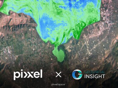
Birmingham, United Kingdom, Los Angeles, California, and Bengaluru, India, 12 February 2025:

London, United Kingdom; Los Angeles, California; and Bengaluru, India, 6th February 2025

Delaware, Ohio, Los Angeles, California, and Bengaluru, India – Pixxel, a leading

We're thrilled to share some significant developments that will take our capabilities
