
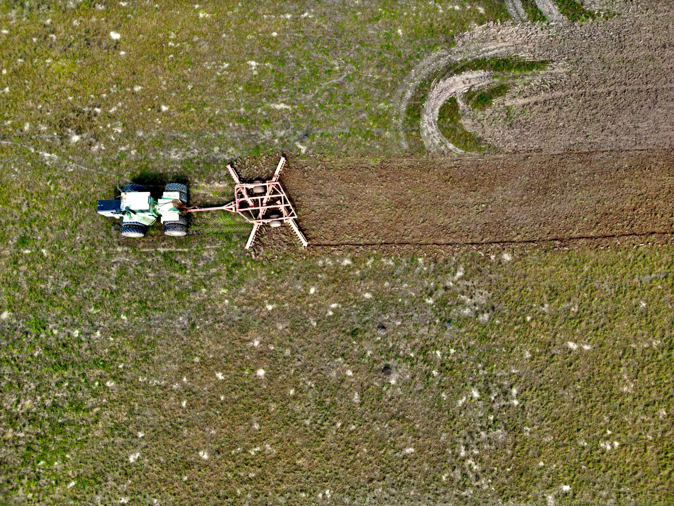
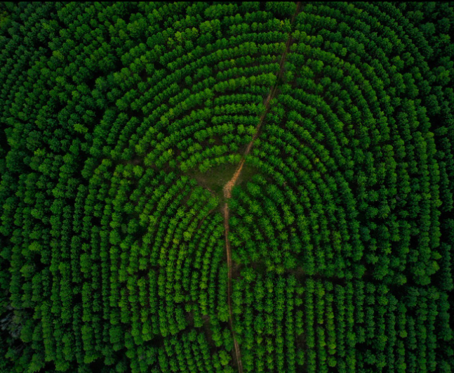
Localised problem detection and data-driven agricultural practices
Pixxel’s imaging satellites capture information across 250+ spectral bands, providing accurate crop classification data and promoting the adoption of sustainable farming practices.
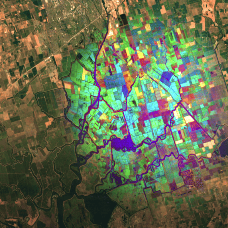
Hyperspectral images of croplands help decision-makers identify highly localised in-field patterns and region-specific trends, ensuring precise problem detection, effective agricultural planning and environmentally responsible farming. This technology also supports continuous variation tracking to improve operational efficiency throughout the growing season.
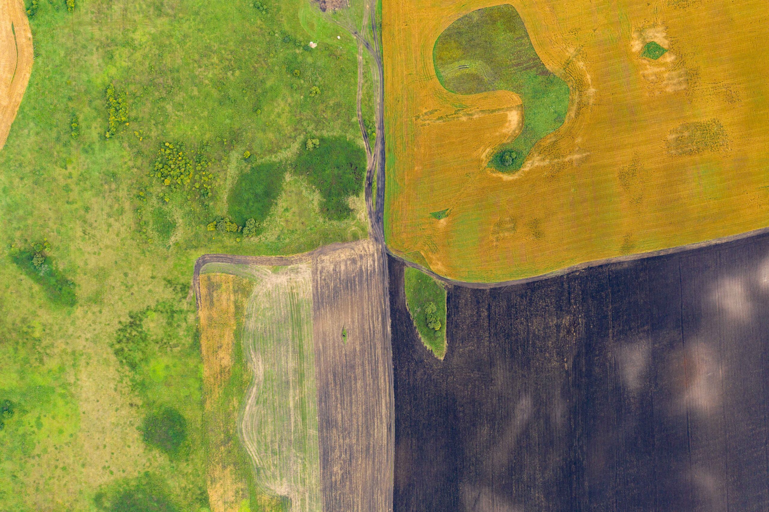
Streamlined crop and soil health monitoring
With a 5-meter spatial resolution, Pixxel’s satellites provide detailed insights into crop variations, biochemical composition, and health.
Hyperspectral data detects nutrient deficiencies, vegetation stress, and soil imbalances, allowing timely interventions to optimise yields, reduce costs and allocate resources efficiently. Continuous monitoring supports precise actions to better crop health, support soil regeneration, and maintain long-term agricultural success.
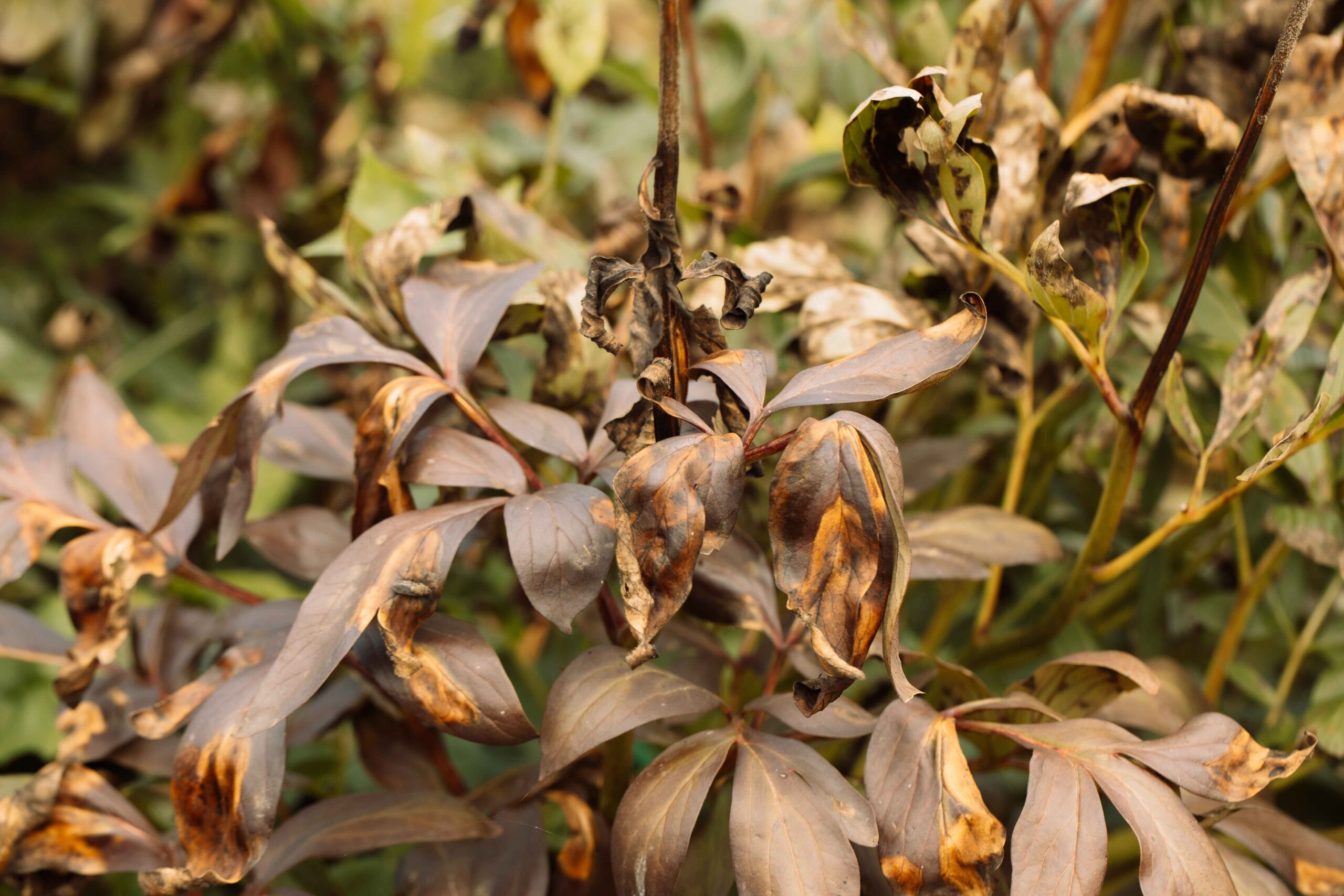
Early disease estimation and mitigation
Pixxel’s hyperspectral satellites offer daily revisit frequency anywhere on the planet, which is essential for detecting and forecasting crop and agricultural diseases and pests.
Hyperspectral technology provides timely information on pre-symptomatic disease detection, enabling early intervention to prevent significant threats and minimise crop losses. Access to hyperspectral data allows agronomists to experiment with and monitor crop varieties against biotic and abiotic stressors, maximising yields every harvest period.
Advanced Precision Agriculture techniques
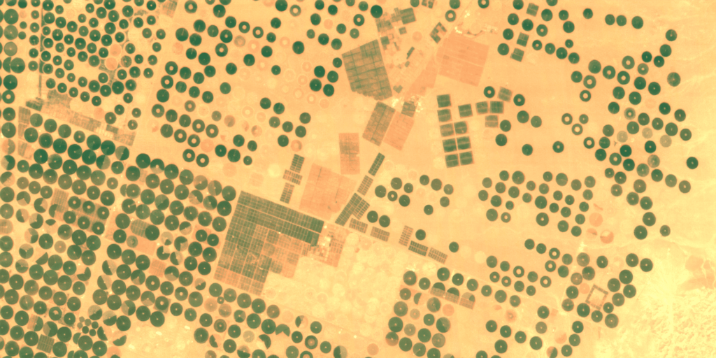
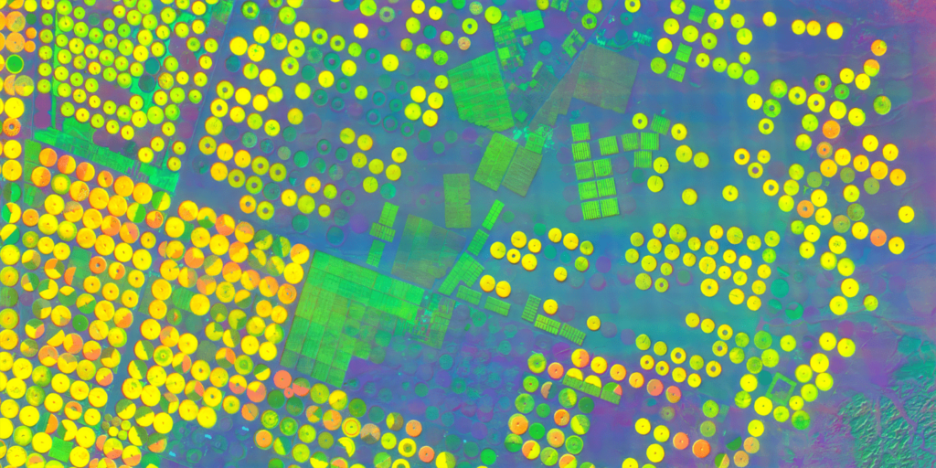
Pixxel's hyperspectral technology delivers 50X more data than conventional satellites, enabling precise crop species and variety classification.
Hyperspectral imaging supports the development of optimal fertilisation strategies by evaluating key parameters:
- Plant health: Measure chlorophyll, photosynthesis, and evapotranspiration rates.
- Soil Health: Assess nutrients, soil characteristics, and water content
- Effluent Monitoring: Detect seepages like hydrocarbons and nutrient leeching.
- Early Crop Stress Detection: Identifies stress before physical symptoms, facilitating timely intervention.
Localised problem detection and data-driven agricultural practices
Streamlined crop and soil health monitoring
Early disease estimation and mitigation
Advanced Precision Agriculture techniques


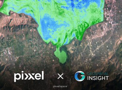
Birmingham, United Kingdom, Los Angeles, California, and Bengaluru, India, 12 February 2025:

London, United Kingdom; Los Angeles, California; and Bengaluru, India, 6th February 2025

Delaware, Ohio, Los Angeles, California, and Bengaluru, India – Pixxel, a leading

We're thrilled to share some significant developments that will take our capabilities
